Saturday, November 28, 2009

Pleasure Point

To cure a little cold, I visit Pleasure Point to take in the ocean breeze first-hand. The waves are good - in fact some of them are a little too good for me. The best wave that catches me and my board carries me all the way back to the beach, and it is strong enough that I don't think about standing up. Scenery: the moon, and the Big Sur mountains on the horizon, and the road along the cliff that leads to Pleasure Point (right).


I think this is the Hook, another surf spot that I've tried a couple of times, but it hasn't grown on me yet.


Watch how many start paddling ...


Back to Pleasure Point. I think in the late afternoon / evening it's an iconic place.


Of course, it's all about being where it breaks.


Note how the strong wind carries the splashing water a bit further than is usual.


In the warm evening light, this creates a rain of gold after every wave that you let go by.

Sunday, November 22, 2009

A Heavenly Day

Heavenly opened this Saturday, and mother nature contributed some fresh snow the day before - nice conditions!


I'm not a fan of groomers, but it's an upgrade over this (Boreal, Nov 1st):


While I'm posting old pictures ... also from Nov 1st, here's a picture of Highway 89, with Emerald Bay in the center.


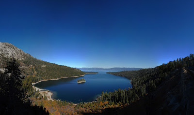
Emerald Bay itself, with a sprinkle of fall colors and Lake Tahoe in the background.


And from the same vantage point, Fanette Island, the island in Emerald Bay.


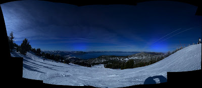
Back to Saturday - we spent most of the day on Orion, a lengthy mellow run on Heavenly's Nevada side. It was cold but sunny with the usual amazing views of the lake. After lunch I switched my bindings to goofy, which of course made me fall a lot but made things more interesting. Sunday was a disappointment - Heavenly was closed due to high winds. Still, if the rest of the season works out like Saturday did I won't be complaining. :-)

Tuesday, November 10, 2009

Desolation Wilderness: Grass Lake, Mt. Tallac, and Yet-To-Be-Named

Two coyotes near the road to Fallen Leaf Lake - only one in the picture - sorry.


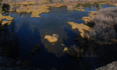
After dropping our gear at the camp site we traverse around Grass Lake ...


... which has a fair amount of grass.


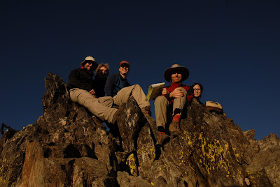
We find a creek bed with little water in it and follow it for a while: Frank, William, Kirsten, Patrick, Jürgen, Harshit.


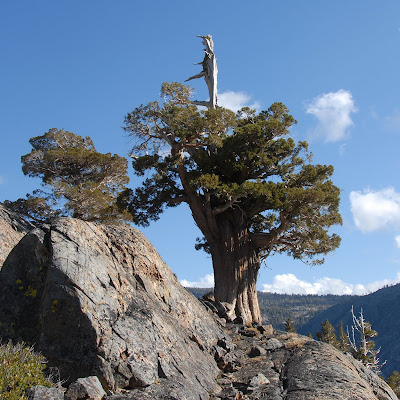
Ancient tree.


Up the hill towards the trail.


We take the trail towards Gillmore Lake and Tallac and arrive at the summit of Mt. Tallac.


View of Lake Tahoe from Mt. Tallac.


View of the Crystal Range with Pyramid Peak from the western slopes of Tallac.


Back to Gillmore Lake in the warm evening light.


Gillmore Lake - time for switching on headlamps and staying on trails.
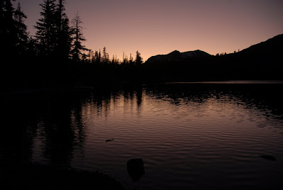


As expected, night and morning are chilly.
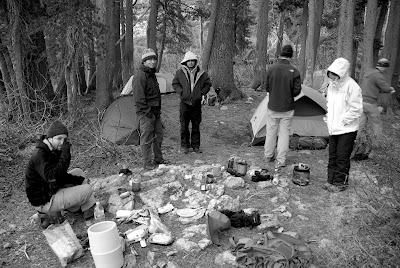


Kirsten, Frank, and I take off towards Pyramid Peak. There's no trail to get into the big valley with Aloha Lake, so we hike up the nearest canyon behind our camp site at Grass Lake towards Lake Margery, and from there West toward Pyramid. Many beautiful lakes in various shapes and sizes here - granite complimentary.
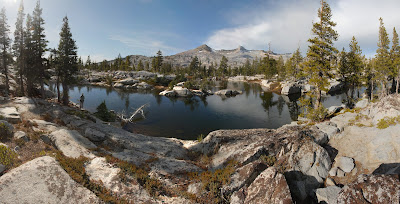


We hike up an unnamed granite dome and upon noticing that there's another drop towards Pyramid we celebrate the views with a good break.


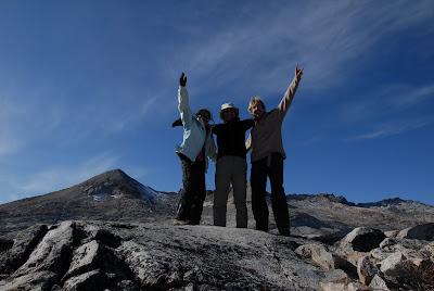
If you look from the right angle we're actually above Pyramid.


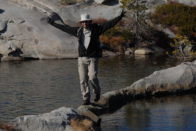
Crossing various streams and lakes is entertaining. The right end of the log is suspended in mid air ...


Not sure how well this granite bridge works with high tide.


Another view with Pyramid Peak and a lake.
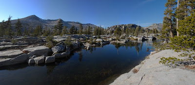


Oops, sorry. Due to my sloppy navigation we hike another unnamed peak before finding the canyon that we came up. The lake in the picture is Jabu Lake.


Some rock scrambling in the canyon.
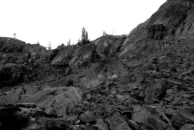


Looking down towards Grass Lake.
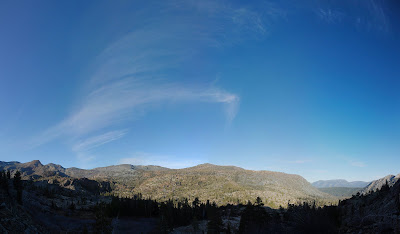


Almost there. Heavenly slopes at the other end of the canyon.


Back at Grass Lake.
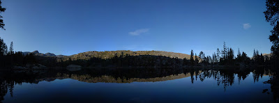


Some unfinished business with Pyramid Peak, but other than that: awesome scenery and great company. A bit chilly, but the weather could have been less friendly this time of the year.

Tuesday, October 20, 2009

Snowboarding at Mt. Gibbs, Yosemite

Last week it rained in the SF bay area, and snow fell in the mountains. Find myself checking the Yosemite Webcams page and wonder what it would be like to travel to one of the large snow patches that appear on Mt. Gibbs. And then, highway 120 reopens within the park. And soon after that, all the way. Score! I decide to explore the picture...

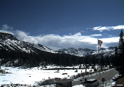
Here is a snapshot copied from the Tioga Pass Webcam for October 18 2009, the day of my trip:


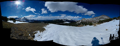
My destination: the second mountain from the left, Mt. Gibbs. Fast forward to a lovely Sunday afternoon, imagine a bit of sweat, and here we are, having left most of the trees behind us on the ridge. Dana is the prominent Mountain to the left, which we also saw to the left in the webcam shot. Gibbs is straight ahead.


Following the snowpatch further, on skins. Looking back, Mammoth Peak to the left, Dana Peak to the right.


Looking up towards Gibbs.


There is another, larger patch further up that would make for a steeper, longer run. However, having started only around noon with weather in store for the evening, I decide to leave it at that.


It would be difficult to not make a happy face here: about to ride!


Wearing my little compact camera around my neck, so the resulting video is crappy - apologies. Still, might give a sense of the experience and the fantastic scenery. I didn't expect the run to last this long - almost 4 minutes, and it could have been longer if I had stayed away from the canyon between Gibbs and Dana...


On my way to the parking lot, looking back at Mt. Gibbs, thankful for the sweet first ride of the season.


Not much later, while driving back on 120, clouds roll in.


Outside the park, fall colors on display for sunset.


What a joy to begin the 2009/2010 snowboarding season in October with a run in Yosemite National Park!

Tuesday, September 29, 2009

Matterhorn Peak (12279 ft)

Pictures from a trip to Matterhorn Peak with Jürgen. We start at Twin Lakes.


Fall leaves.


Lake with swampy shore.


Further into the canyon, large fields of boulders.


Horse Creek Canyon.


Just before the pass.


At the pass. The hill to the right is Matterhorn Peak.


We didn't pick the ideal route, but once past the sand it was a fun scramble and the view is quite awesome. Notice the forest fire in Yosemite.


Chute just below the summit.


A little rock column.


At the summit.


Deer near the pass. The gray stuff in the background is snow.


Beautiful rock.


Horse Creek Canyon. Good thing we have headlamps.


Biker in Bridgeport, California.


Hotspring near Bridgeport. Should have potential in the winter.


A snake.


In Bodie, a Californian ghost town.


The mill.


More Bodie. This used to be California's second largest city.


Downtown Bodie.


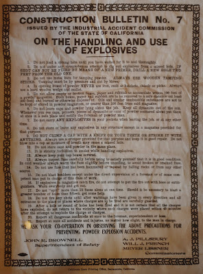
Construction Bulletin No 7, issued by the Industrial Accident Commission of the State of California: On the Handling and Use of Explosives.


The park ranger John Buie, who lives in Bodie. A real character - his story telling was awesome.