
Horses on the trail while we're having lunch.

After many switchbacks we reach Granite Pass at 10347 ft and enter Granite Basin.

Looking from the meadow in Granite Basin towards Goat Mountain, which is hiding behind the two cute but unnamed mountains on the right. The third peak from the right is Munger Peak. My shadow in the foreground.

Next morning, we depart from our camp at Granite Lake towards Goat Mountain. As we walk through the meadow we look back towards the Monarch Divide.

Hiking towards Goat Mountain, which is again hiding in front of us. Again, the third peak from the right is Munger Peak. We decide to cross the ridge between the two unnamed peaks on the right.

Here we arrive at the ridge. Goat Mountain is the lengthy mountain left off the center which is higher than the two unnamed mountains in the foreground.

We decide to traverse along the slope of the peak on the left to the Northern end of the ridge line leading up to Goat Mountain. As we get started, a few elk rush by.

Arrived between Munger Peak and the ridge line leading up to Goat Mountain from the North. This will be class 2-3 climbing with easier bailout options.

Goat mountain to the right, Munger Peak to the left.

The view from the 12207 ft high Goat Mountain top is awesome. Mt. Gardiner looks particularly impressive (you'll have to download the picture to see it).

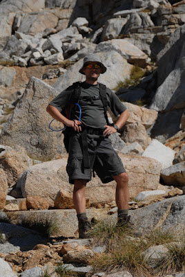
Me at the top. Why would you want to climb a mountain? Hard to explain but standing at the top is self-explanatory and surely makes sense.

On our way back we stay between Munger Peak (left) and the unnamed peak (right). The climbing is slightly more interesting here than what we did on the way up.

Stefan enjoying the scenery.
Looking towards Granite Lake, where we camped. When the grass in California isn't green it's golden.

Another view towards the Monarch Divide behind Granite Lake.

In the evening I scramble up the little granite dome South of our camp to take some Alpenglow shots. Looking East, we see the unnamed peak at the right, Goat Mountain, another unnamed peak, and then Munger Peak. In other places these unnamed peaks would probably be named and famous, but this area has so much granite splendor that nobody has bothered naming them.

South view.

Granite lake in the morning. Granite lake has an island consisting of granite which is visible on maps (e.g. the USGS 7.5 minute map of the Spinx Quadrangle, which we carried). I swam to the island twice and saw plenty of fish.

My shadow, the moon, and a dead tree at the bottom of the lake.

On the Copper Creek trail back down towards the car.

View from the road through Kings Canyon.

Awesome trip - I think I'll have to explore this area some more.
No comments:
Post a Comment